
Gallup, New Mexico: Not gonna mince words tonight, Dearest Reader. I am beat. After driving from Taos yesterday and visiting La Ventana in El Malpais National Monument - it was a very long day. Barely enough time to recover overnight in another one-night campsite before we entered the El Malpais area again this morning to visit two sites - one volcanic (duh) and another historic in a more-current era (if you consider 1600s current). This area was constantly traveled by natives, Spanish travelers. Missionaries. Soldiers, Mexicans, and European settlers. Traders. Trappers. Trespassers. Cowboys. Cattle Rustlers. Miners. Outlaws. You name it - they were here.
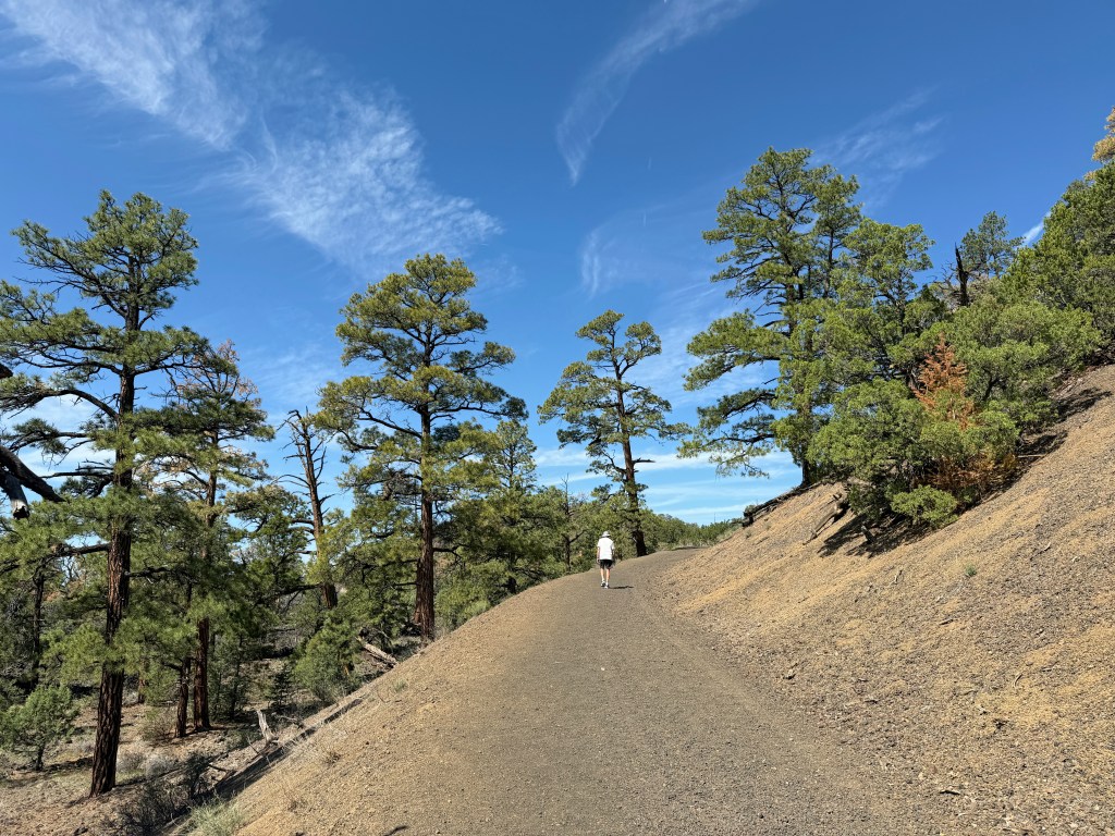
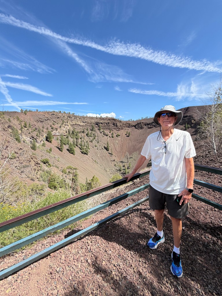
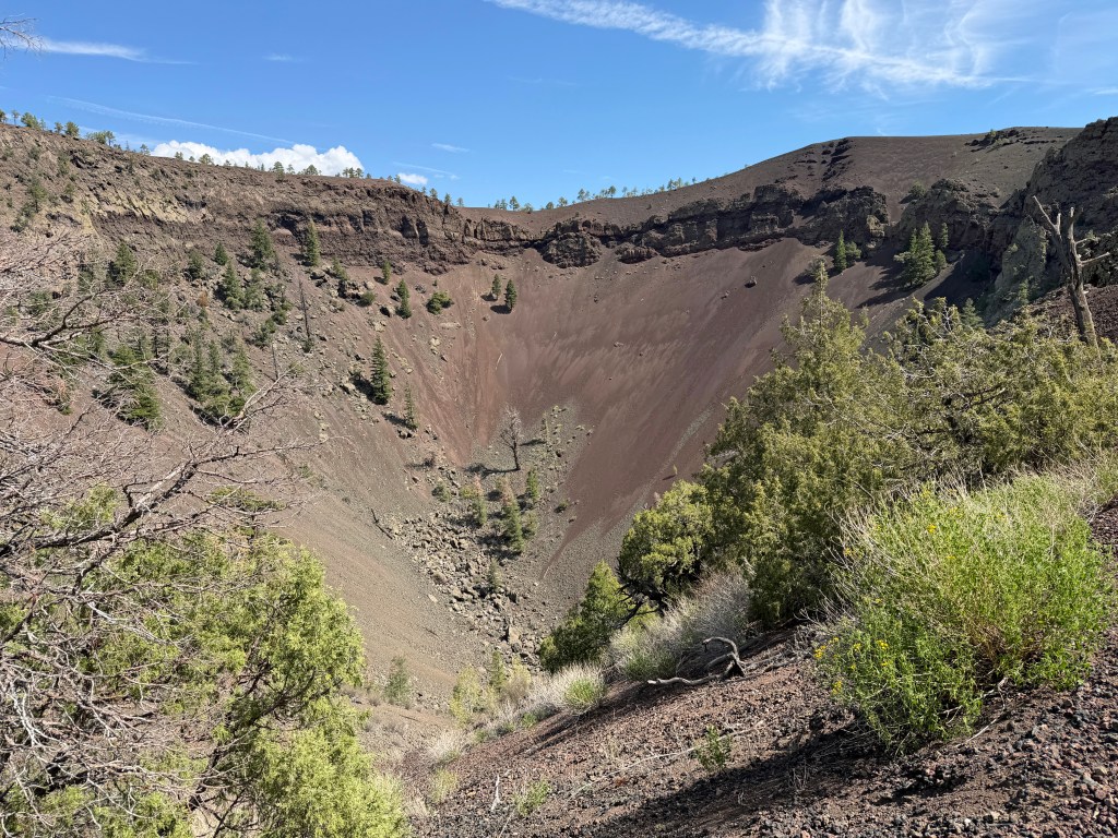
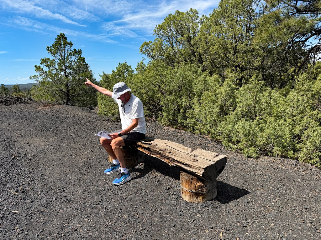
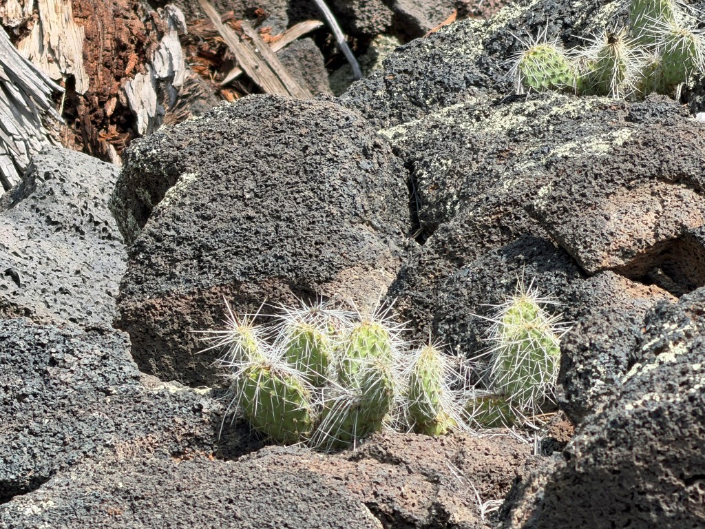
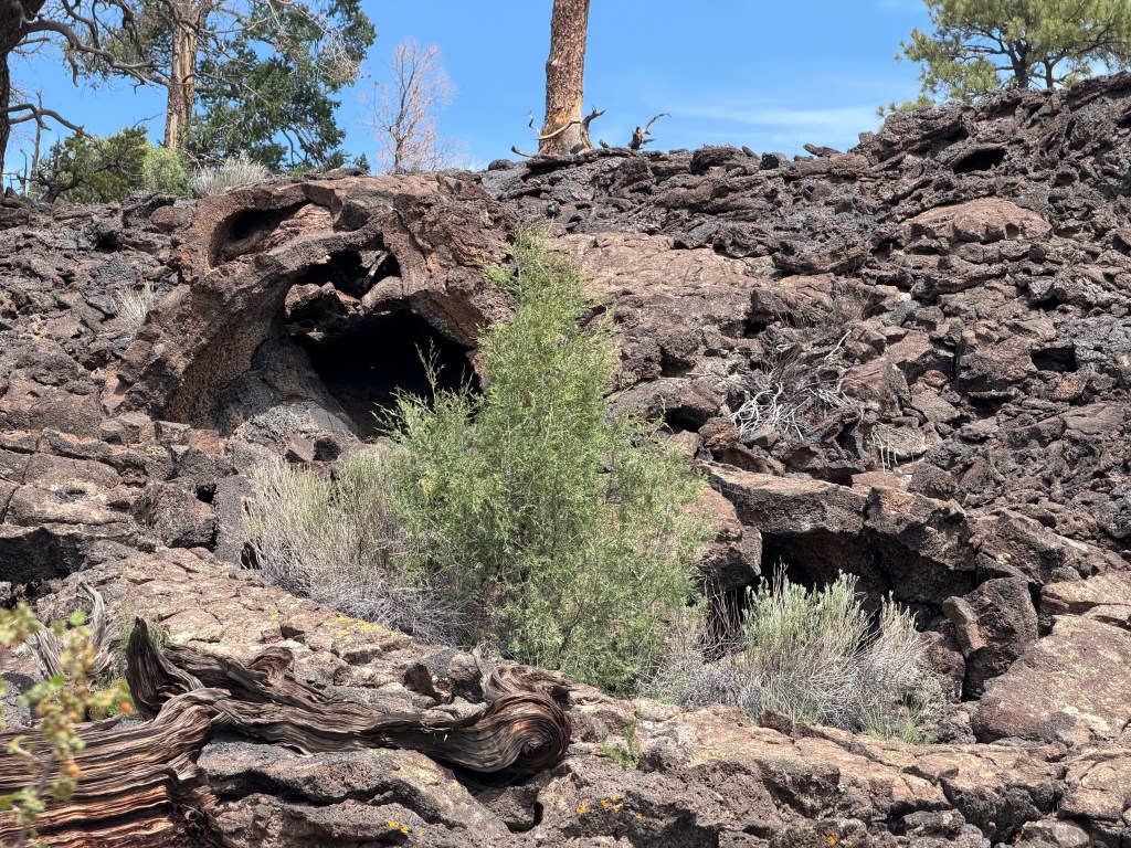
Between 9-10,000 years ago, many volcanoes in this area blew up, leaving huge lava flows, lava tubes, caves, and cinder cones. Today we visited the Ice Caves and climbed to the top of Bandera Volcano and looked into the crater. The trail was pretty easy, but it was still at 8000+ feet elevation (and we still live at 24 feet elevation).
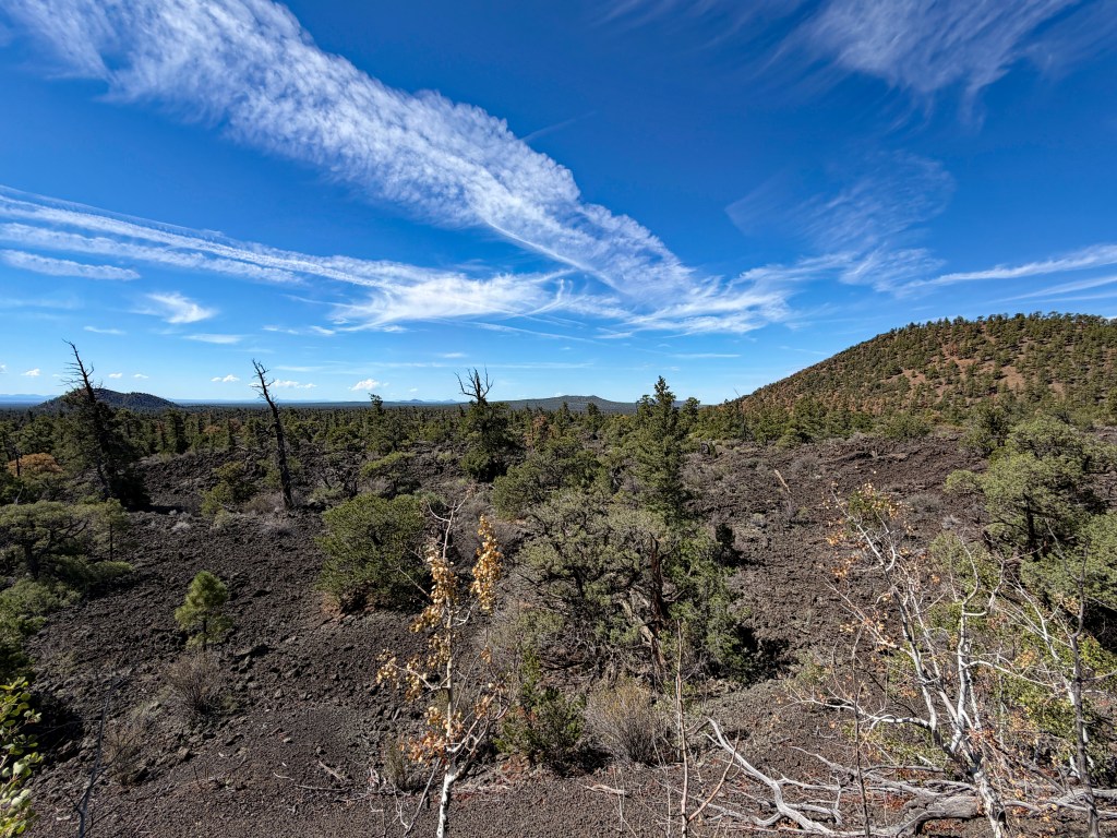

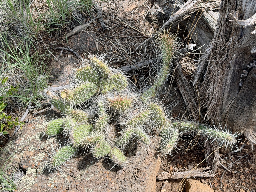
Banderas Lava Flow - 'A'a lava - completely jagged, broken lava produced when the surface of the flow cools and hardens while still in motion. Now you know.
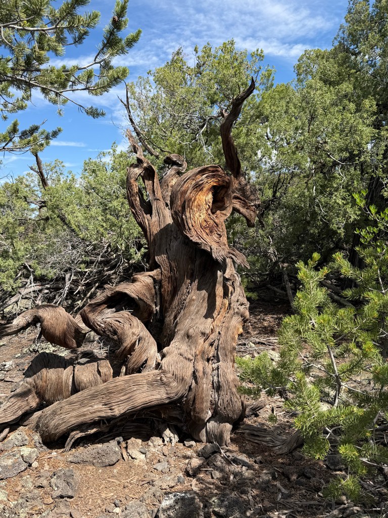
The loop is only about two miles.
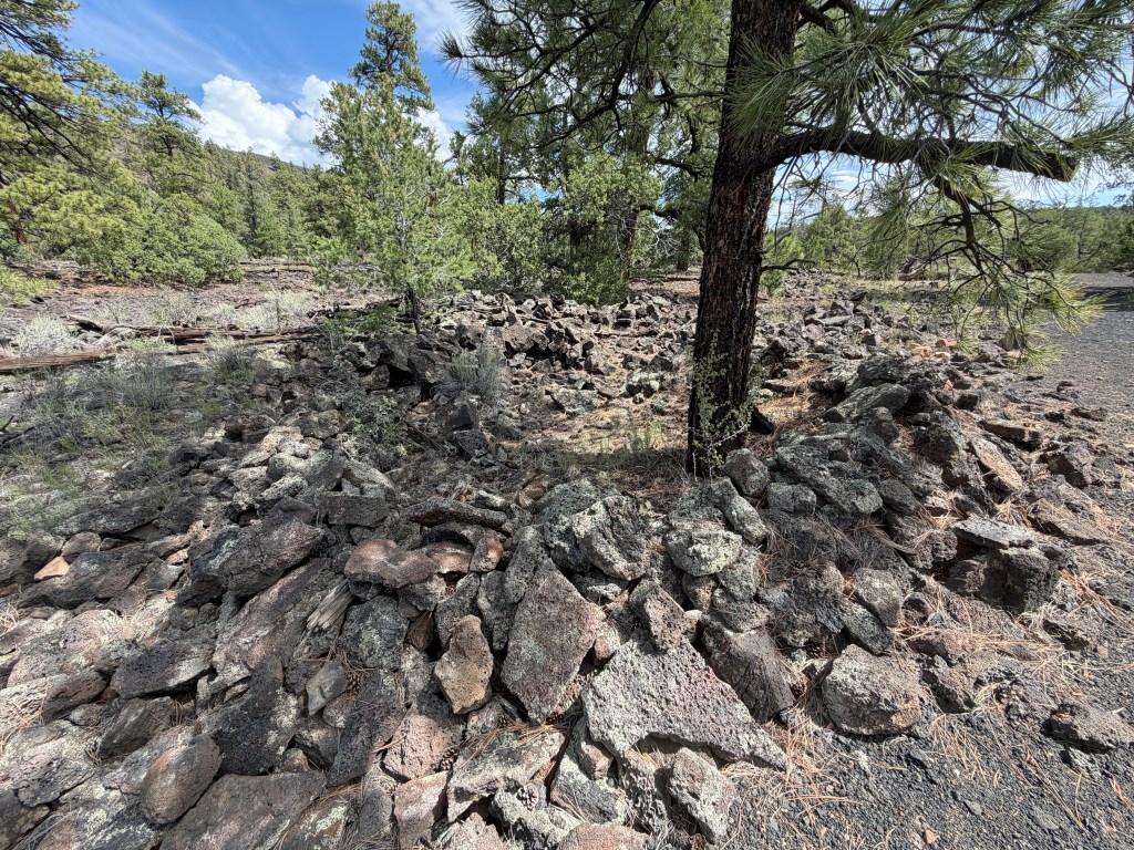
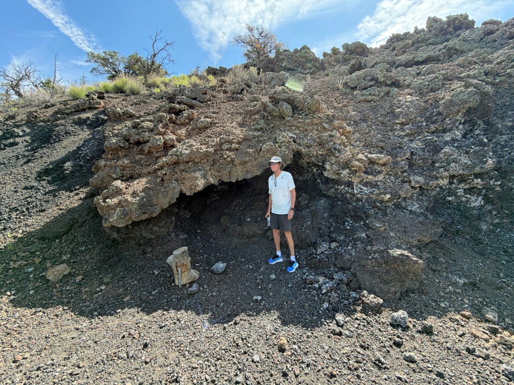
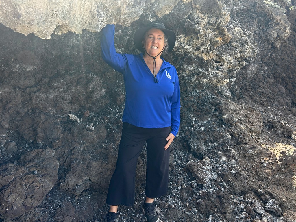
Yes, it just looks like rocks thrown in a circular pattern, but this was some-sort of native campsite - not a permanent living structure. The stone circles were just above (basically on the roof of) the ice cave. It was about 90° outside, but at this point we could feel cool air blowing up from the ice cave below.
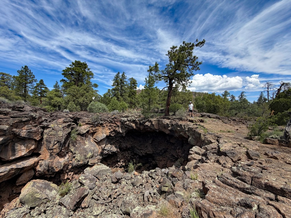
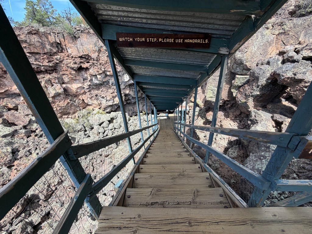


The ice cave is a constant 31° Fahrenheit and fills with rain and snow during the year. There is a puddling of water a few inches thick over the ice, with a bit of ice from the roof the cave dripping onto the surface. The ice in the bottom of the cave is over 20 feet deep, and dates back 3,400 years. (The green moss on the ice surface is Arctic and it is unknown how/why Arctic moss is growing so far south.) Don't forget - this cave is at nearly 8000 feet elevation.


Well, that was fun boys and girls. Yes, we have been to many volcanoes, lava flows, lava tubes, vents, etc etc etc, but this is the first time we have seen a lava tube ice cave... except for some snow that seems to usually remain at the bottom of a lava tube in Craters of the Moon National Monument in Idaho. (That I recall.)
But wait - there's more.
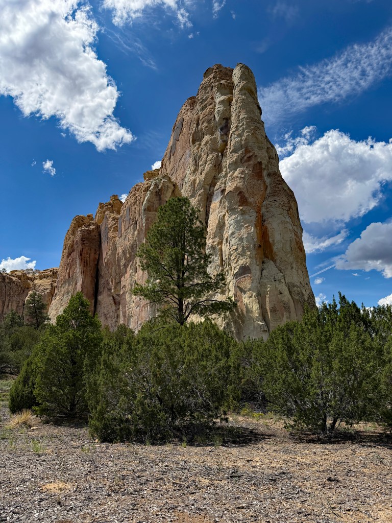
Just down the road from the ice cave (a private enterprise, not a national monument, park, nor preserve) is a fascinating rock formation - El Morro National Monument. (The Rock in Spanish-ish.) As I wrote above, this area has long been busy with travelers and many of them inscribed their name & date on the soft sandstone of El Morro.
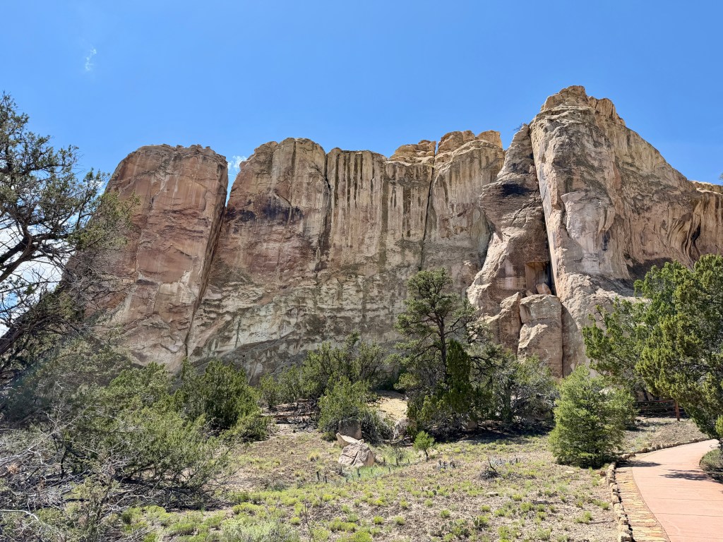
The park service have made a paved trail up the part of the rock where visitors carved their names. Dave and I walked the trail today and saw so many interesting things. Above the rock are pueblo ruins, but we were not allowed to climb due to encroaching thunderstorms.
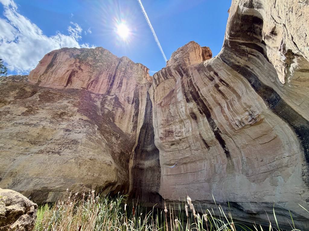
Difficult to see over the reeds, but there is a large 12-feet-deep pool below this sandstone cliff. It is not fed with a spring, but only fills via rain and snowmelt - and never runs dry. For thousands of years it has been visited by humans and animals.
The big draw to this rock are the carvings left by humans.
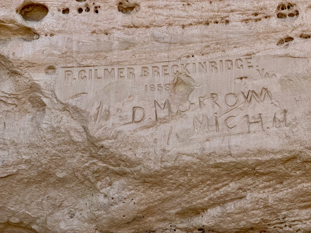
Peachy Breckinridge was in charge of the 25 camels used by Lt. Beale in 1857. (Yes, the US Army tried using camels in the west in the mid-1850s!) After his work with Lt. Beale, Breckinridge returned to his native Virginia and died in the Civil War battle at Kennon's Landing, Virginia, in 1867,
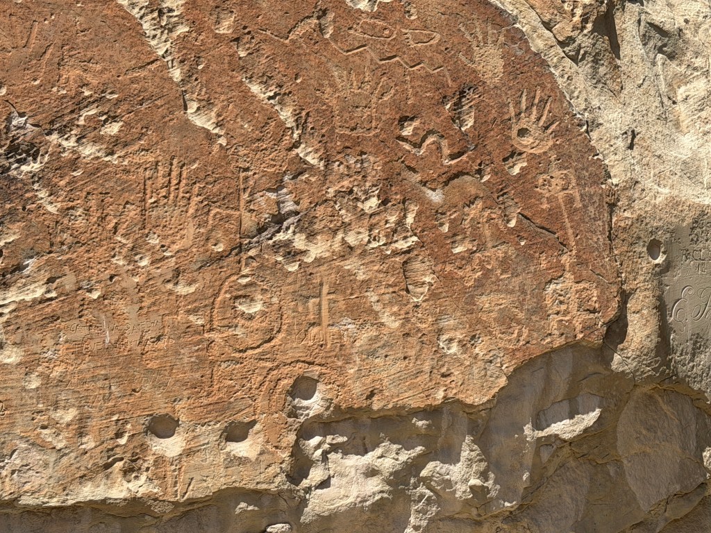

Translation: On the 25th of the month of June of this year 1709, Ramon Garcia Jurado passed through here on the way to Zuni.
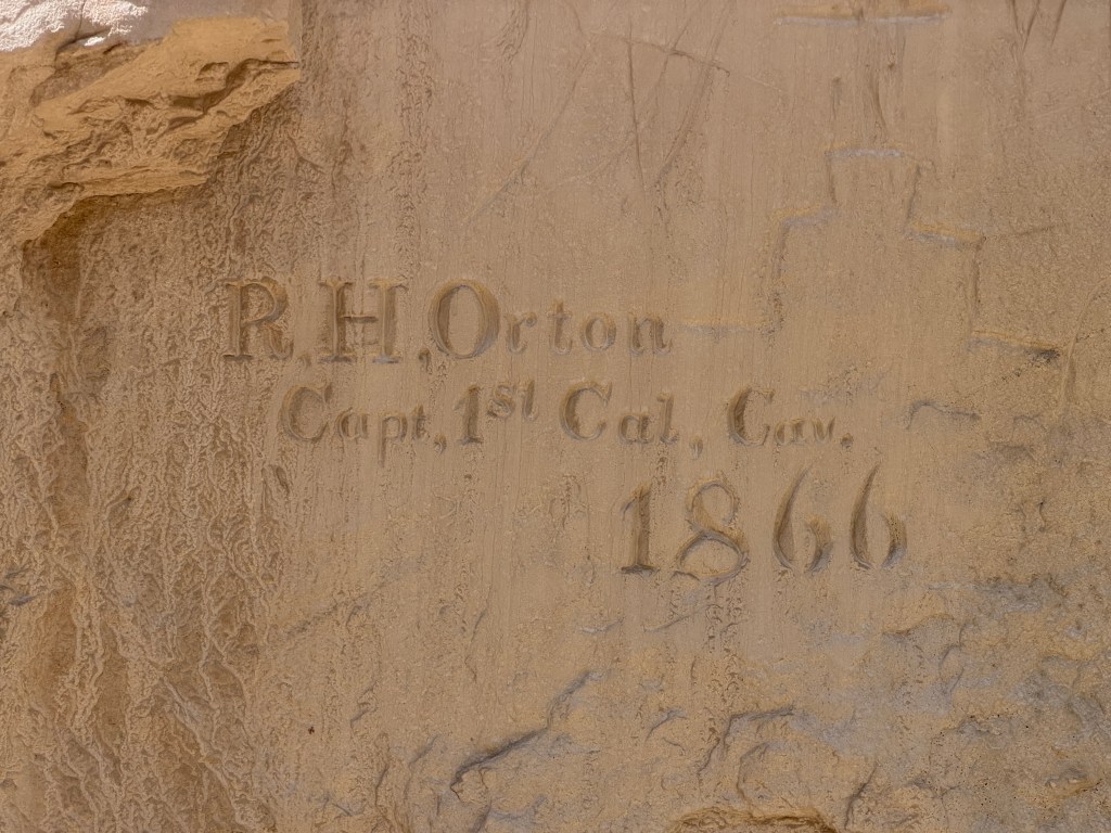
Orton became the adjunct-general of California after the Civil War.
Sadly, due the harsh weather conditions and the passage of time, many of the inscriptions are fading (or have faded away). The oldest inscription dates to 1605 - Don Juan de Orñate - the first Spanish Governor of New Mexico.
The Pilgrims landed at Plymouth Rock in 1620.
It was a very long day. When we arrived into Gallup, New Mexico, it was already after 5p, and rail lines were choking the city traffic. We needed fuel. We needed DEF. We needed vegetables/fruits. After finding all three things, it was nearly 7p before we checked-into a campground. Thank goodness I had foresight yesterday and made a mini-batch of black bean chili (used the leftover black beans from the YUMM! bowls), so all we needed to do was shower, eat, and go to bed.
Oh, except one us had to edit 26 photos and blog. (The other one drove all day.)
Until my next update, I remain, your volcanic correspondent.
Campsite Information: USA RV Park - just an overnight stop.